Air pollution estimation
The air pollution estimation application provides an estimation of the vehicle-related pollution emissions in the MASA area. Accurate measurements of the pollution levels due to the circulation of vehicles are very hard to obtain, due to the presence of multiple contamination sources within the city (e.g., emissions from factories, etc.). As a result, the main approach is the use of air pollution estimation models that typically use long-term statistics on the vehicle population, mileage and speed, as an input to obtain pollution levels at a macroscopic level.
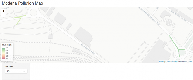
 Modena pollution map
In CLASS, the novelty lies in using actual traffic information obtained in real-time and aggregated at the Data Knowledge Base (DKB), through the detection and tracking methods of the CLASS data analytics workflow. This approach has two key advantages: i) it relies on real traffic information (i.e., vehicle type, position and speed/acceleration), instead of simulated traffic models, and ii) it enables the estimation of air pollutant levels at a much smaller scale (i.e., in the order of hours, minutes, or even seconds). As a result, more insights can be gained with respect to the impact of real-life traffic behavior on the level of emissions.
Overall, the CLASS air pollution estimation applications can provide the estimated levels of vehicle-related emissions (Nitrogen Oxide, Carbon Monoxide, and Hydrogen, among others) at street level, with a configurable monitoring granularity that can range from hours down to seconds.
